
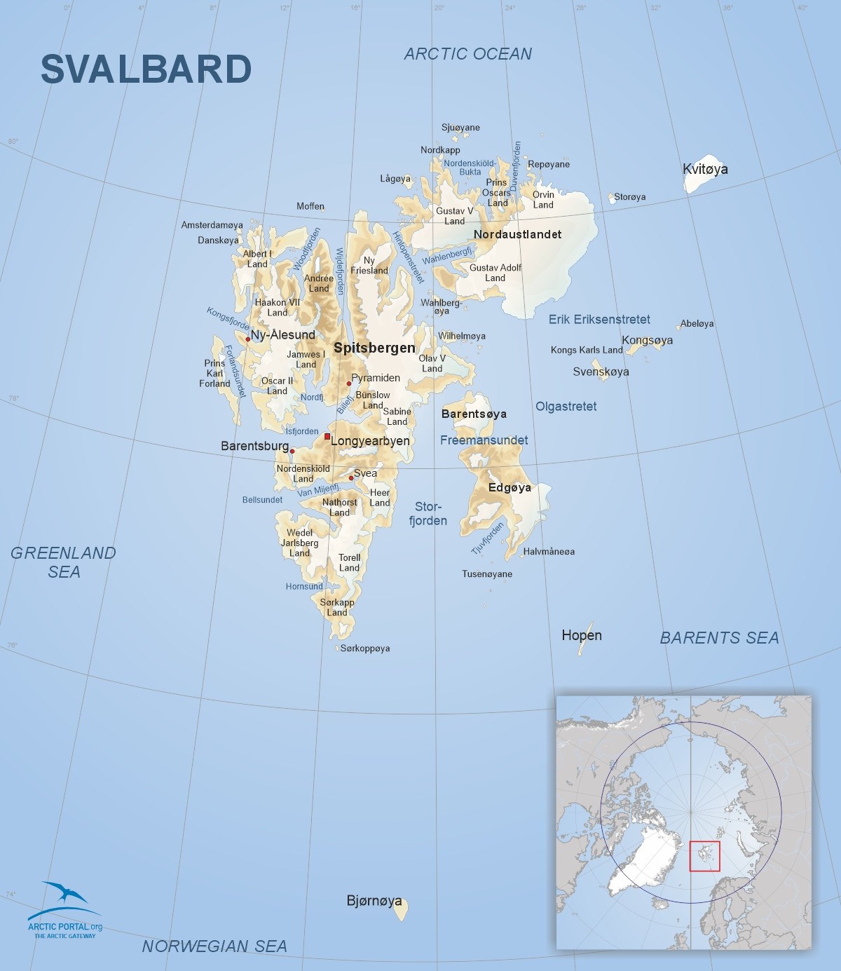
Svalbard
This is a map of Svalbard. Svalbard is a Norwegian glaciated Arctic archipelago covering approximately 61,000 square kilometers, with around 60% of its landmass covered by ice. It has a small population of around 2,500, mainly in Longyearbyen, the largest settlement. Known for its glaciers, polar bears, and the Svalbard Global Seed Vault, it plays a key role in Arctic research and geopolitics.
© Arctic Portal 2006-2026
Last updated: February 2025
Source
Arctic Portal